Remote Research


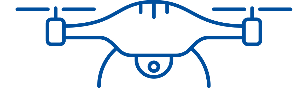
lying a drone named Dottie hundreds of feet above a snowy forest in northern New Hampshire, Frankie Sullivan ’11G spots a female moose and her calf. Zooming in, he can see the moose’s ear tag, the type of vegetation she’s munching on and even some snowshoe hares hopping nearby — information that leads to better protection of some iconic mammal species.
Searching through data collected on Lake Huron, Val Schmidt sees what turns out to be the schooner Ironton, which sunk in thick fog in 1894. The remarkable images came from data collected by a survey team that included a snowmobile-sized uncrewed boat named BEN, which carries a high-resolution multibeam sonar system that can render an image of a shipwreck “as though it just sailed down to the bottom of the lake,” Schmidt says.
Across UNH, researchers are harnessing remote technology such as drones and autonomous surface vessels (ASVs) — robot eyes in the sky and on the water — to get a bigger, better and often faster and safer look at the world around us.
A Bird’s-Eye View of the Landscape
After two days flying Dottie above New Hampshire’s majestic North Country, Sullivan, a research scientist in UNH’s Satellite, Airborne, and UAV Remote Sensing Group, returned to the lab to process the data alongside lab lead Michael Palace, associate professor of Earth science, and research scientist Christina Herrick. The data helps assistant professor of wildlife ecology Remington Moll and N.H. Fish and Game estimate the state’s moose population, work that traditionally used expensive, sometimes dangerous helicopters.
Palace and Sullivan have been flying drones to answer a range of UNH research questions, spanning disciplines from wildlife ecology to biogeochemistry to archaeology, for more than a decade. Their quiver boasts Dottie, Dahlia and Dragonfly, each with impressive three-foot-plus wingspans; and three smaller multispectral drones named Simon, Theodore and Alvin.


“So instead of just doing land cover type, we can, for instance, look at species of plants on the landscape,” says Palace. “It’s driving research in developing field studies that are better designed as well as allowing us to ask new questions.”
Sullivan recalls collaborating with professor of anthropology Meghan Howey in her study of pre-European archaeological monument sites in Michigan. Howey had spent years hiking through the woods to locate burial mounds and cache pits, the vast majority of which had long ago been destroyed. Using LIDAR data, Sullivan confirmed all the sites Howey had found on foot — and dozens more. The team continues to explore using drones for archaeological research.
While they’re generating dizzying volumes of data for new insights into our Earth and its inhabitants, drones continue to amaze Palace and Sullivan with the fresh perspectives they offer. “We see how beautiful the landscape is,” says Palace, recalling his work in Arctic Sweden, where he cut his teeth flying drones in support of professor of Earth sciences Ruth Varner’s ongoing research there. “You look at these fens and mires and bogs — the landscape is so heterogeneous, it’s absolutely beautiful.”
Closer to home, professor of remote sensing Russell Congalton and his team are using drones to detect harmful levels of cyanobacteria: a faster, more efficient method for determining whether New Hampshire lakes are safe for swimming and recreation.
At six lakes across the state, Congalton and his team flew a drone with a multispectral sensor, measuring reflected light to determine cyanobacteria concentrations, and conducted comparison research using traditional methods of collecting measurements and samples from a canoe then analyzing the samples in the lab.
“This was the first study of this kind done within New Hampshire and, when compared to similar studies done elsewhere around the U.S. and world, it examined far more bodies of water to provide us more data to support our findings,” says Congalton.
Seafloor-Mapping Robots
UNH researchers are leading the development of robots looking below the water as well. UNH’s Center for Coastal and Ocean Mapping (CCOM) deploys its two autonomous surface vessels (ASVs), BEN and DriX, across the globe to map the seafloor. This remote technology is essential for Seabed 2030, the global effort to map the world’s oceans by 2030. Currently, only 25% have been mapped in high resolution.
“Uncrewed vessels have great potential to really benefit our capabilities in mapping the ocean floor,” says clinical professor Semme Dijkstra.
An Autonomous Partnership
“This exciting collaboration will not only be good for Exail and UNH students and researchers but also good for New Hampshire and the nation,” says CCOM director Larry Mayer. “We anticipate that it is just the start of bringing many of our other industrial partners and government colleagues to the state as we create a local engine for the new blue economy. ”
Marine Slingue, Exail president for North America civil and space, praises UNH’s leadership on the use of uncrewed technologies. “We’ve been working together with UNH for the past six years pioneering uncrewed technologies, and we are now capitalizing on our common achievements with the opening of this new innovation hub,” Slingue says.
The Maritime Autonomy Innovation Hub is located at UNH’s John Olson Advanced Manufacturing Center.
“What a perfect mission for a robotic vessel,” Schmidt says. It can be safer, too, to keep human operators either on shore or aboard large, stable research vessels. That, he notes, is where he wants to be: “I get seasick, I don’t like to be on small boats.”
CCOM has operated and co-developed BEN — the Bathymetric Explorer and Navigator — since 2016. A workhorse, BEN assisted with a search for Amelia Earhart’s airplane and has trained student oceanographers who come to UNH from around the world.
“BEN is like Pooh Bear … sort of moseying along at a slower speed,” says Schmidt, comparing the sleek DriX to the more energetic Tigger. Since 2018, Schmidt and other CCOM researchers have collaborated with NOAA and DriX creator Exail to turn the 25-foot long, 1.6-ton DriX into a lean, mean uncrewed survey machine, capable of mapping the seafloor at speeds exceeding 10 knots and remaining at sea for seven 24-hour days.

So fruitful have these partnerships been that Exail has opened the Maritime Autonomy Innovation Hub at UNH, bringing the French company’s production of DriX to campus (see sidebar). And in September, NOAA Administrator Rick Spinrad visited UNH, site of the future NOAA Center of Excellence for Operational Ocean and Great Lakes Mapping at UNH.
“It’s apparent that in the future we’re going to be using more and more of these vehicles, so we should prepare our students to get some practical experience and greater understanding,” says Dijkstra. “UNH has the facilities, the people, the program to be a leader in this area.”


